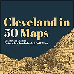
Cleveland in 50 Maps
Edited by Dan Crissman, Cartography by Evan Tachovsky & David Wilson
by Arin Miller-Tait
Teachers love maps. We know that many of our students need these kinds of visuals to help them understand content, and maps especially serve as touchpoints that can quickly capture important ideas, illustrate patterns, and identify trends. Cleveland in 50 Maps, edited by Dan Crissman with cartography from Evan Tachovsky and David Wilson, is a treasure-trove of such visuals. It gives more insight in about 100 pages than should be humanly possible—especially given the wealth of data that those pages present.
The book is divided into five sections and covers the natural, built, and human landscape of the city. Many of us can probably imagine the bat-wing shape of Cleveland’s outline, and this shape obviously appears again and again throughout the book. But while the outline of the shape repeats, each iteration gives different interior details that reveal the kind of comparisons that (especially) social studies teachers live for—change over time, distribution of resources, geospatial correlation, just to name a few.
The patterns that emerge on the pages of Cleveland in 50 Maps tell a fascinating story of what has happened in Cleveland over time, but they also shed light on what those changes mean and who is impacted by those changes. The book touches on big issues like natural resources and climate change, infrastructure, culture, race, and ethnicity. But it also provides some fascinating examples that support the book’s larger themes: where are the breweries and music venues whose names you’ve heard but never knew where they were located? Who has access to grocery stores and farmers markets? What locations in Cleveland were featured in The Green Book, indicating they were safe for African-American travelers in the Jim Crow era?
The thing I liked best about this book is that it gives just enough history and context to present the map and draw conclusions in the simplest terms. This means that it can function on many levels; if you’re looking for a teaching tool it leaves plenty of room for you as the teacher to use the maps in many possible ways, but if you’re just interested in learning about Cleveland, this book can still offer a great deal. My first response after leafing through it was that I could teach a whole class on these maps, a sentiment I let even more strongly after multiple readings.
Available from Belt Publishing at https://beltpublishing.com/products/cleveland-in-50-maps
